Description
Combining several sources of information to create the perfect variable rate map for
your unique crop, crop stage and application is complex.
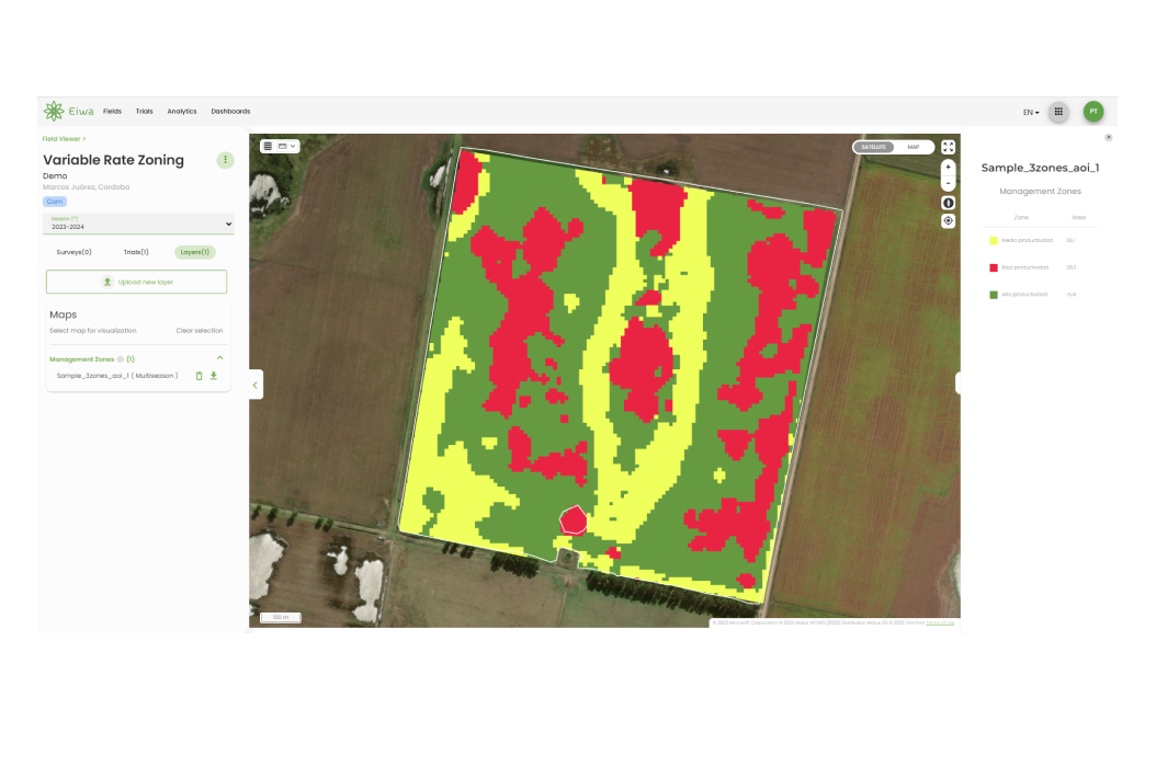
This Variable Rate Application (VRA) Zoning solution is an engine that allows you to
create highly customizable management zone maps instantly leveraging inbuilt satellite
data sources.
Inputs:
- Number of zones: max 8 zones
- Historical period of interest to be analyzed
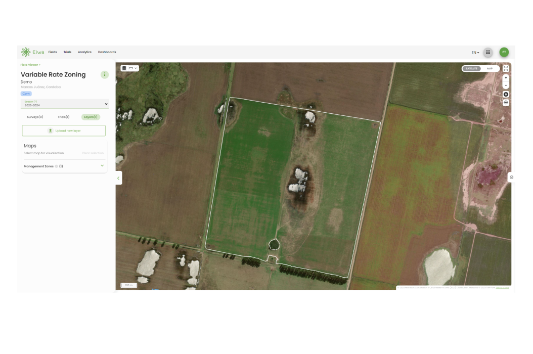
- Field boundaries (vector format: kml, geojson, shpfile)
Output:
- Layer visualization for Management zone maps (Field Viewer)
- Management Zone Analysis (Data Editor & BI Dashboards)